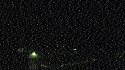
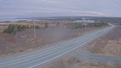
Spaxomin › Noord: Highway 5 about 24 km north of Merritt at Helmer Interchange, looking north
![]() Spaxomin, Canada
Spaxomin, Canada
Real-Time Environment
Welcome to the live streaming webcam for Spaxomin › Noord: Highway 5 about 24 km north of Merritt at Helmer Interchange, looking north, perfectly situated in the vibrant region of Spaxomin, Canada. Watching this live camera allows you to instantly experience the local atmosphere and monitor current climate conditions.
About Upper Nicola Band
The Upper Nicola Band is a First Nations band government in the Canadian province of British Columbia, located near the town of Merritt in the Nicola Country at Douglas Lake. They are a member of both the Okanagan Nation Alliance and the Scw’exmx Tribal Council, which is a joint government of Okanagan and Nlaka'pamux bands.
📖 Read more on Wikipedia📍 Location Facts
-
Country
 Canada
- Region Brits-Columbia
- City Spaxomin
- Coordinates 50.3207°N, -120.6371°E
Have you been to Spaxomin?
Help the community! Share your experience, tell us about the weather, or upload your own photos from this exact location.